

Latest news and events
Gravity and Geochemical Survey (Afghanistan)
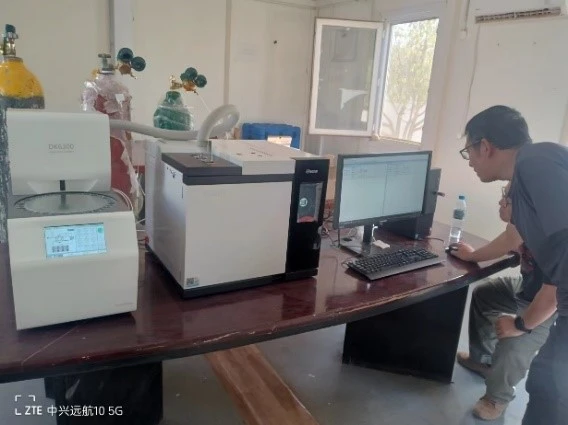
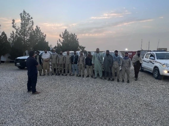
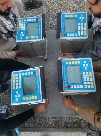
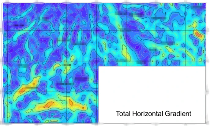
On Dec, 2023 GLT has completed Gravity and Geochemical survey in north Afghanistan covering an area of over 1,800 km² to define the potential area for hydrocarbon exploration.
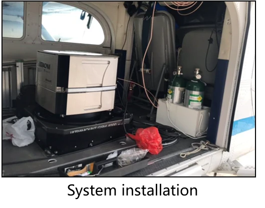
Airborne Gravity and Magnetic Survey (Bolivia)
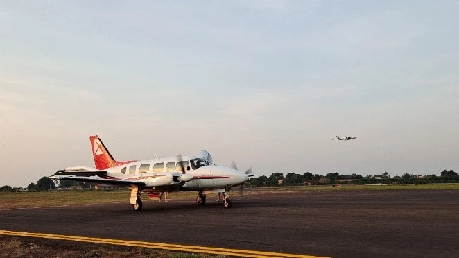


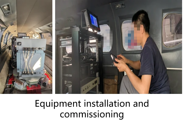
On March 2023,GLT has carried out Airborne Gravity and Magnetic Survey in Bolivia, with 157,500km survey line.
3D City
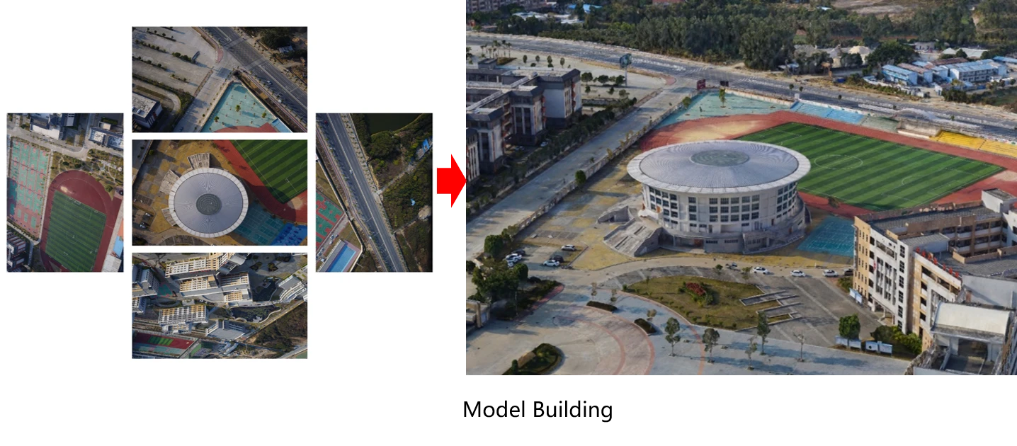
In 2021, using oblique photography technology, GLT obtained spatial information as well as multi angle image information and established real model for about 80km².
Land Using Survey
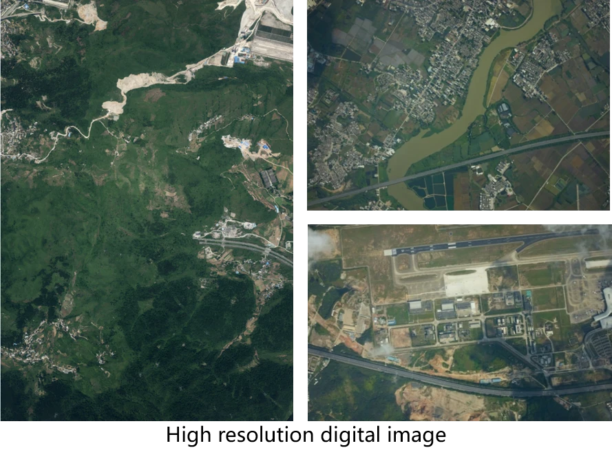


June 2020, digital aerial photogrammetry project covering an area around 3600km² for environmental protection. The project helps to provide basic information for decision makers to understand the land using situation and to plan protection area.
Mineral Resources Exploration
November 2019, airborne gravity and magnetometer project in Inner Mongolia to delineate the potential resource area, with survey line around 1,000km.
Airborne Gravity and Magnetic Survey (Ethiopia)


April 2018, Airborne Gravity & Magnetic survey for hydrocarbon potential target area survey has been carried out in Ethiopia covering an area of 56,027km².
Power Engineering
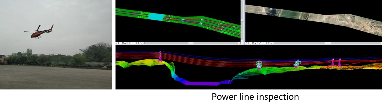
Airborne LiDAR data generated DEM, DOM, DSM, DLG, which can provide reliable technical data for power engineering such as power grid operation and maintenance, power line selection, and wind farm site selection. The company has completed 20,000km for Power line route design, optimization, and inspection for many years.
Highway Survey
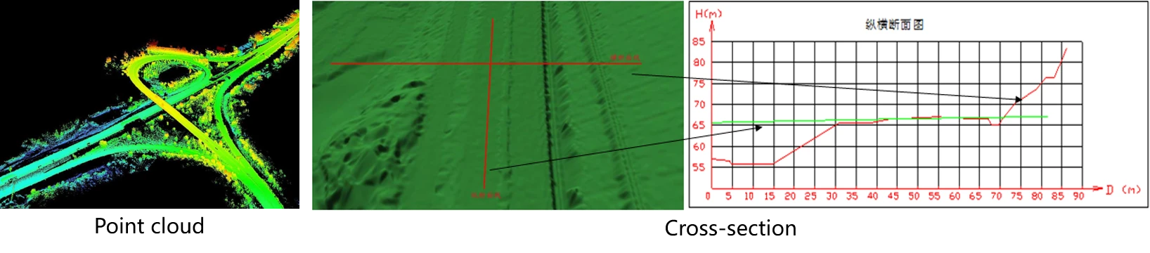
Airborne LiDAR data generated DEM, DOM, DSM, DLG, and cross-sections, which provide accurate 3D information for highway construction, route selection and expansion. It greatly improves the efficiency and accuracy of surveying work.